|
|
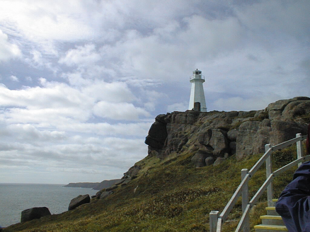
 Lighthouse located on Cape Spear in St. John's, Newfoundland, Canada, the easternmost point in North America.
|
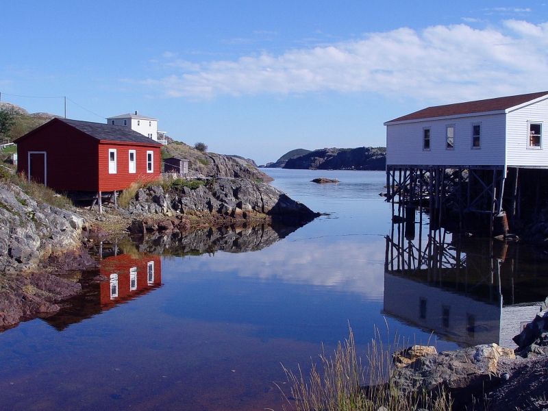
 Salvage Harbour, Newfoundland in the summer months.
|
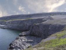 Land of vikings - quietness, solitude, arid land, and spectacular passages typify the magical beauty of this unknown country in Labrador. Ecological trail, Burnt Cape, Labrador, Newfoundland.
|
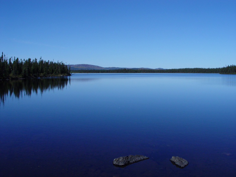
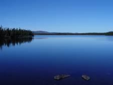 Lake in Labrador, Canada, on a calm day.
|
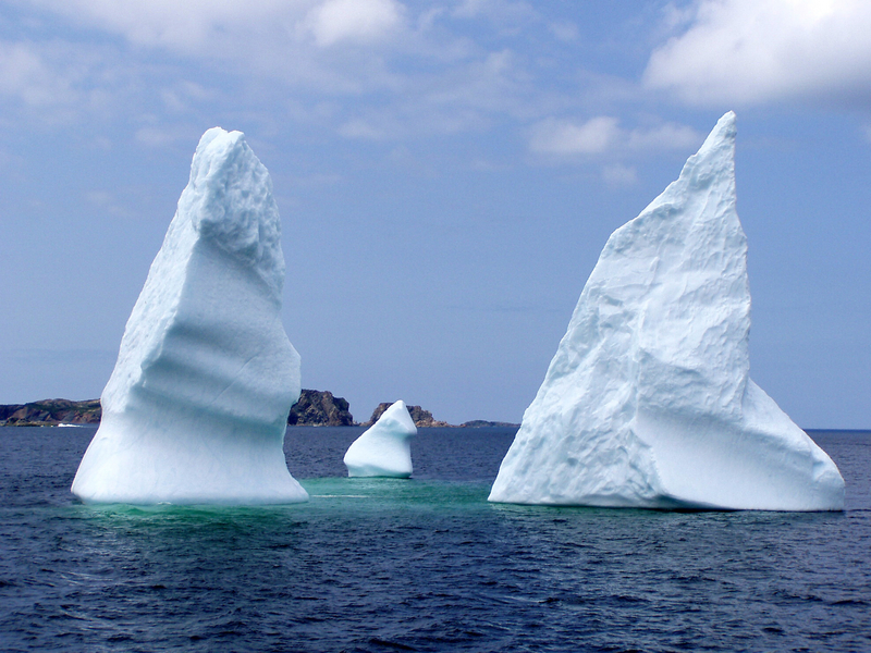
 Three tips of a single iceberg floating near Twillingate, Newfoundland, Canada.
|
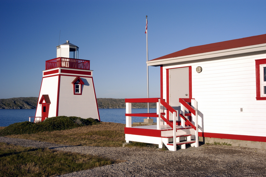
 Saint Anthony Lighthouse is located in the northeastern portion of the Northern Peninsula in Newfoundland, Canada.
|
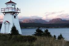 Norris Point and Gros Morne Mountain from the Woody Point Lighthouse, Newfoundland.
|
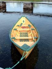
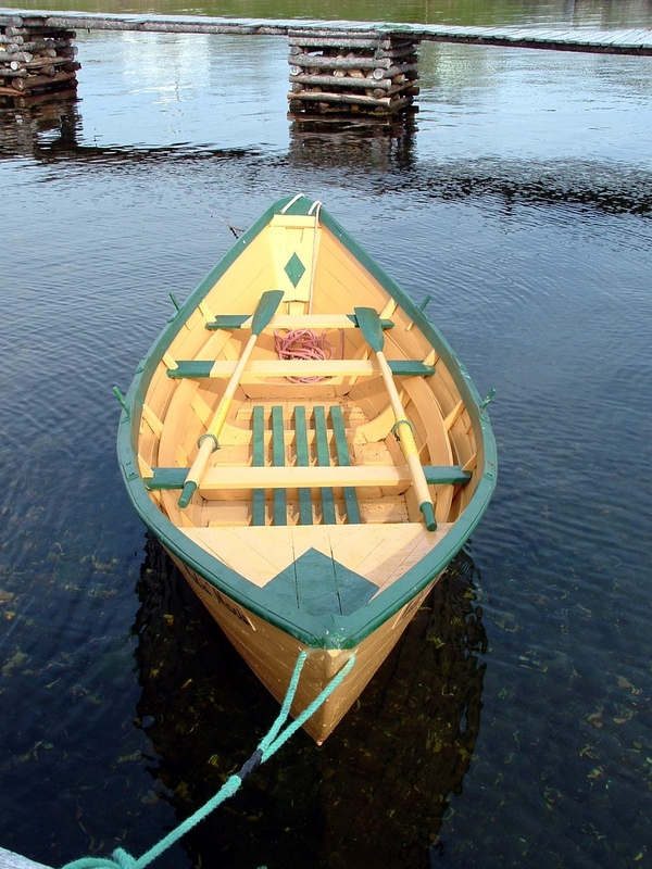
Photo of a Newfoundland Banking Dory that was once used on Schooners plying the Grand Banks of Newfoundland.
|
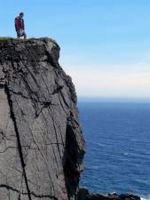
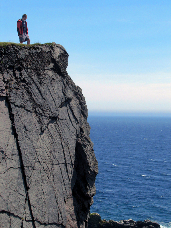
Top of the world - a lone hiker looks out over the view. Skerwink Trail, Newfoundland, Canada.
|

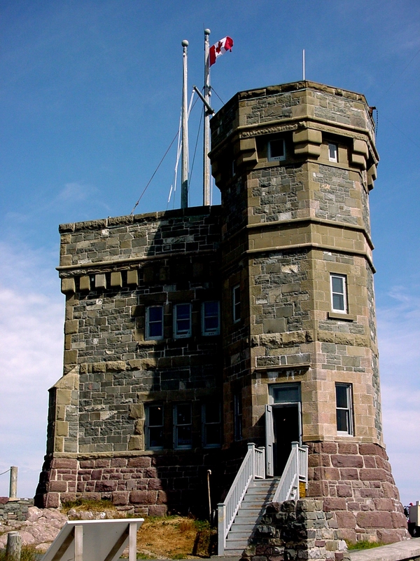
Cabot Tower in St. John's, Newfoundland. Location of the first trans-Atlantic wireless message.
|
Copyright © 2006-2024 Canada-Maps.org.
All rights reserved.
Canada Maps - Newfoundland and Labrador Photographs
|