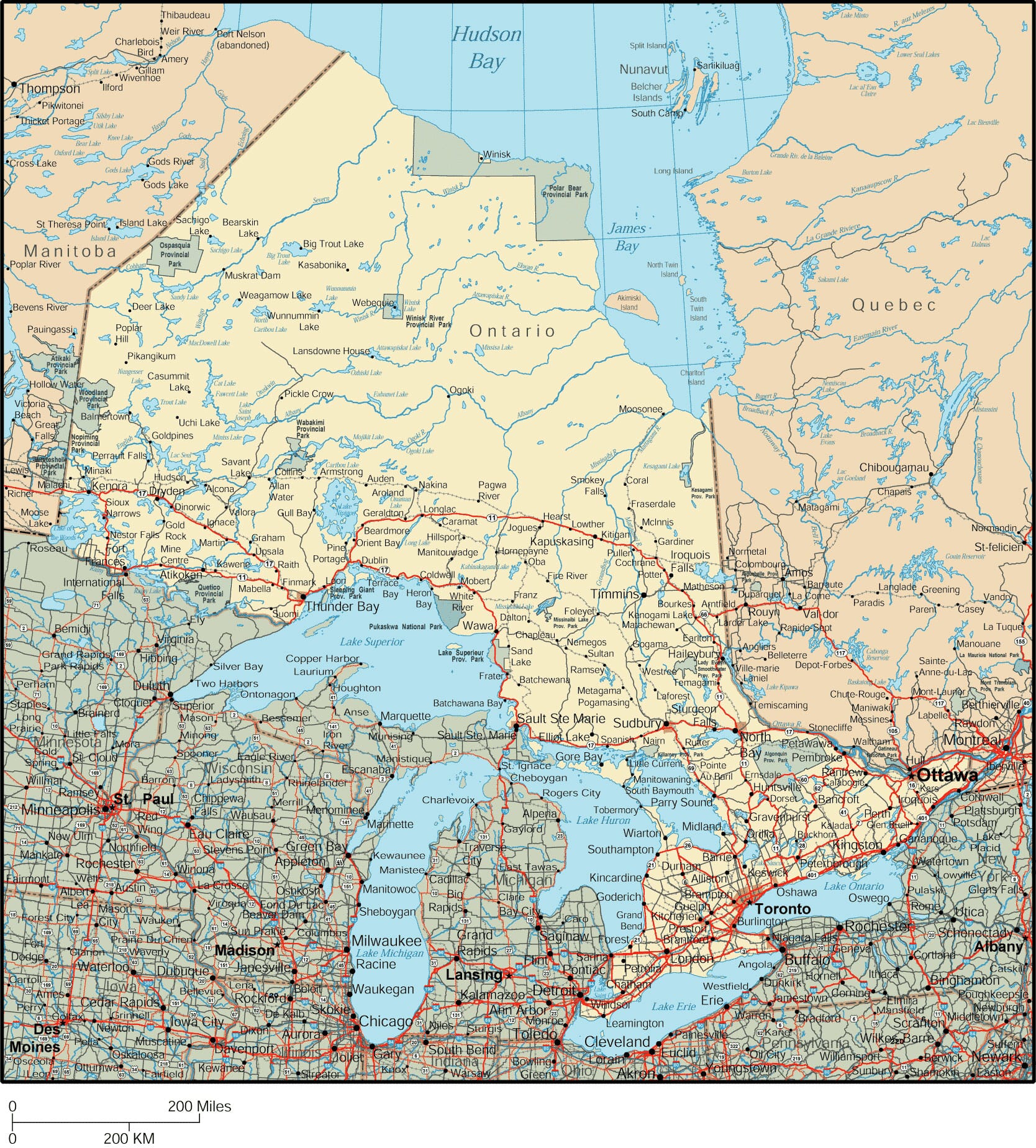
Canada Maps • Ontario Map
|
Canadian Province Travel
|


Horseshoe Falls at Niagara Falls, Ontario, Canada
Ontario Map Navigation
To zoom in on the detailed Ontario map, click or touch the plus (+) button; to zoom out, click or touch the minus (-) button. To display the provincial map in full-screen mode, click or touch the full screen button. (To exit the full-screen mode, click or touch the exit [x] button.) To scroll the zoomed-in map, swipe it or drag it in any direction. You may print this detailed Ontario map for personal, non-commercial use only. For enhanced readability, use a large paper size with small margins to print this large map of Ontario.

Copyright © 2006-2024 Canada-Maps.org.
All rights reserved.
All rights reserved.